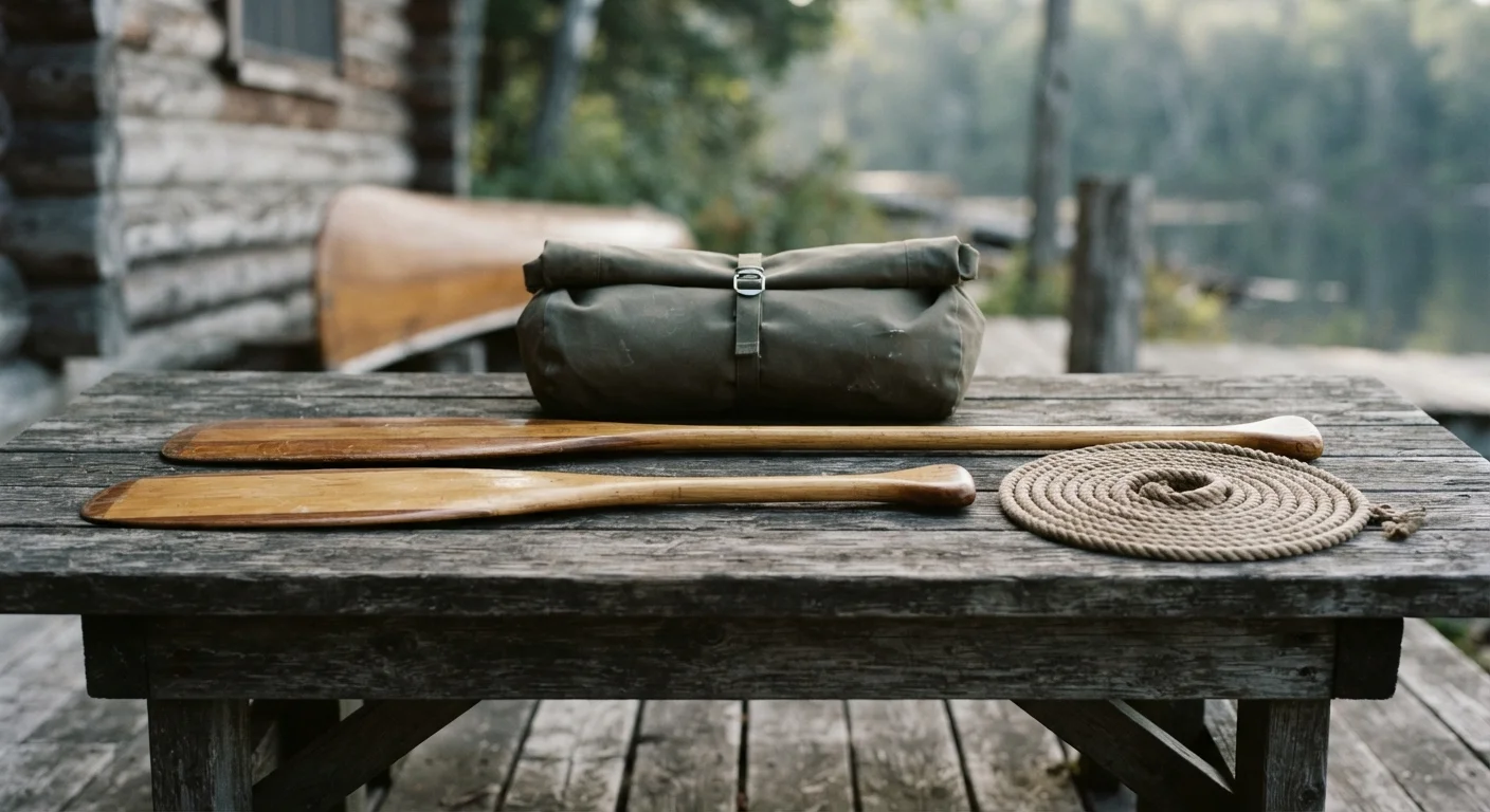
What to Know Before You Paddle the Buffalo National River
The Buffalo is 135 free-flowing miles through the Ozarks — America's first national river, managed by the Park Service since 1972 — and its float season is set by rainfall, not by calendar.
Longer and harder trips: multi-day treks, high passes, expedition cruises, sea kayak crossings and via ferrata routes. Each guide gives distance, ascent, grade, the passable months, guide fees and the fitness a route assumes. Written for travelers picking an objective they will train for rather than book on impulse.
Expedition-grade trips broken down by distance, elevation gain, technical difficulty and the weeks each route stays genuinely passable, plus guide fees.
The Buffalo is 135 free-flowing miles through the Ozarks — America's first national river, managed by the Park Service since 1972 — and its float season is set by rainfall, not by calendar.

Contour lines are the one map feature that tells you what a trail actually feels like underfoot. Here's the mechanism behind them, straight from the agencies that make and manage the maps.
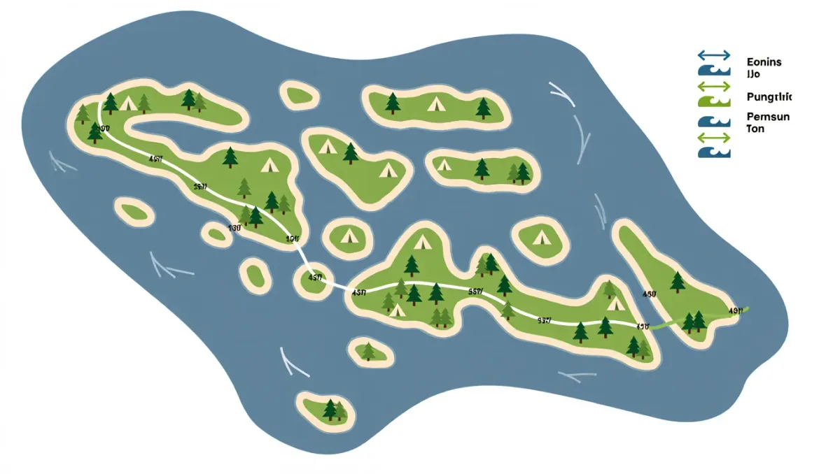
Permits, crossings, cold-water gear, and how to plan multi-day paddling among Lake Superior's 21 islands.
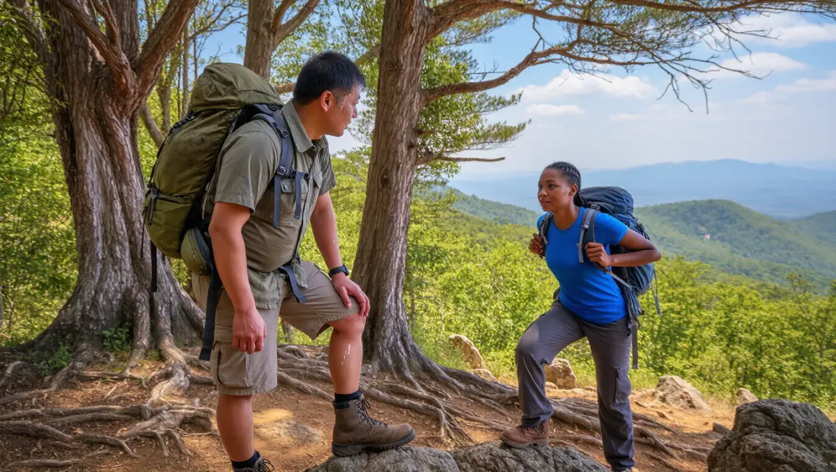
How the country's oldest long-distance trail breaks into logical weekend and weeklong chunks.
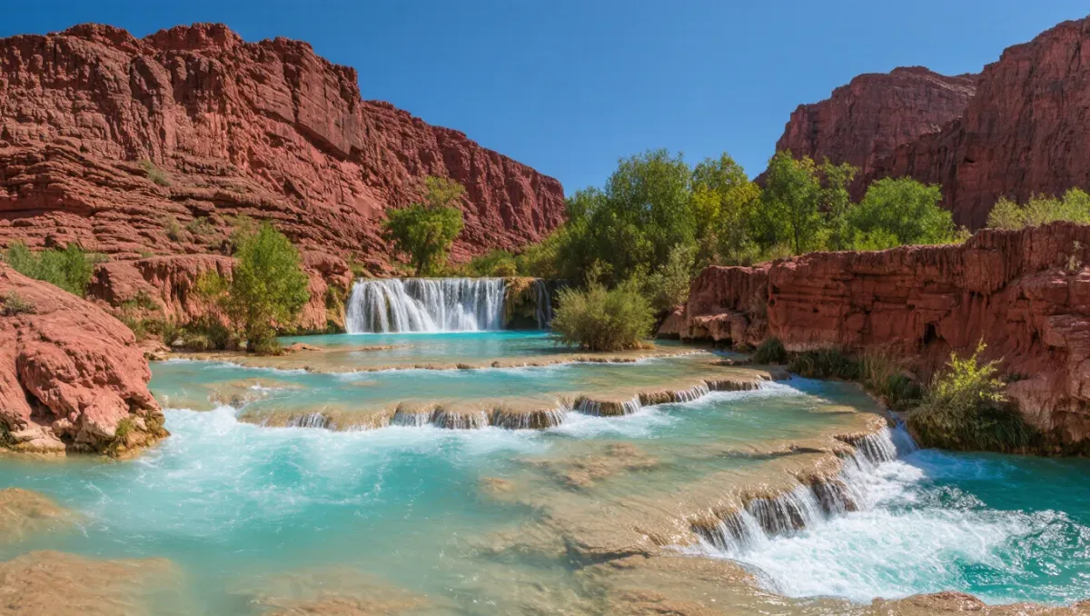
Reservations, the ten-mile trail, tribal rules, and the heat math on the Southwest's famous turquoise water.
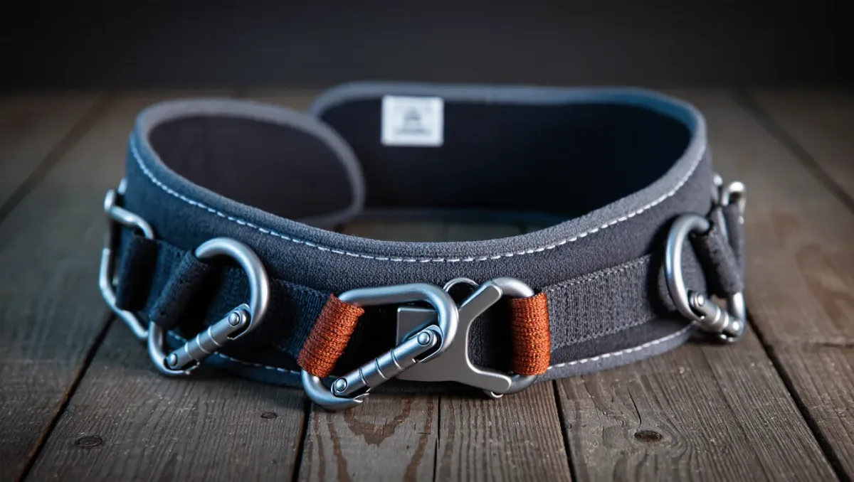
What the spec sheets and standards actually tell you, and how to get a fit you can hang in all day.
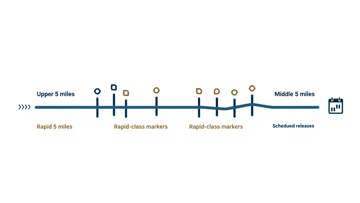
Release schedules, the two sections, outfitters, and what the Olympic-era river demands of first-timers.
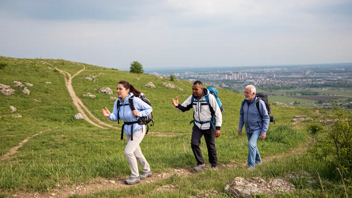
A progressive eight-week buildup of hiking volume, pack weight, and strength that fits around a workweek.
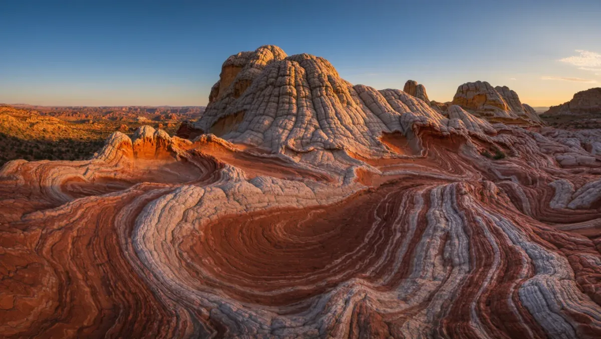
Permit odds, the road in, navigation, and the heat math behind the Southwest's most famous sandstone.
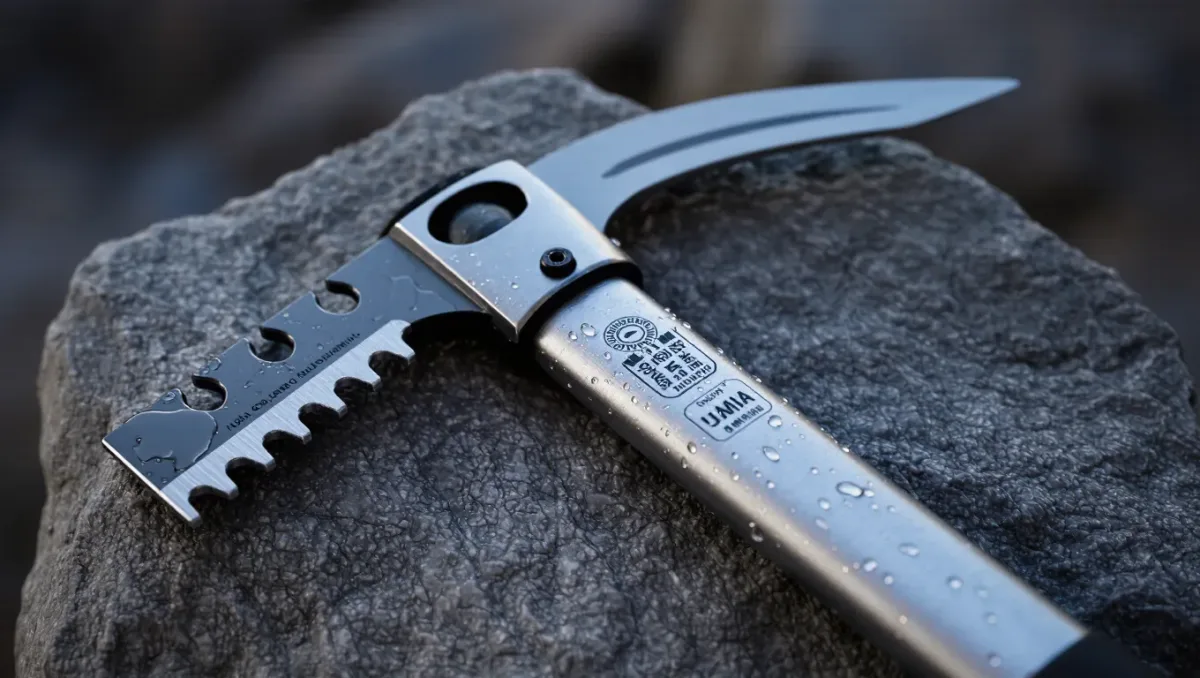
A straight-talking guide to matching a mountaineering axe to the terrain you actually climb.